
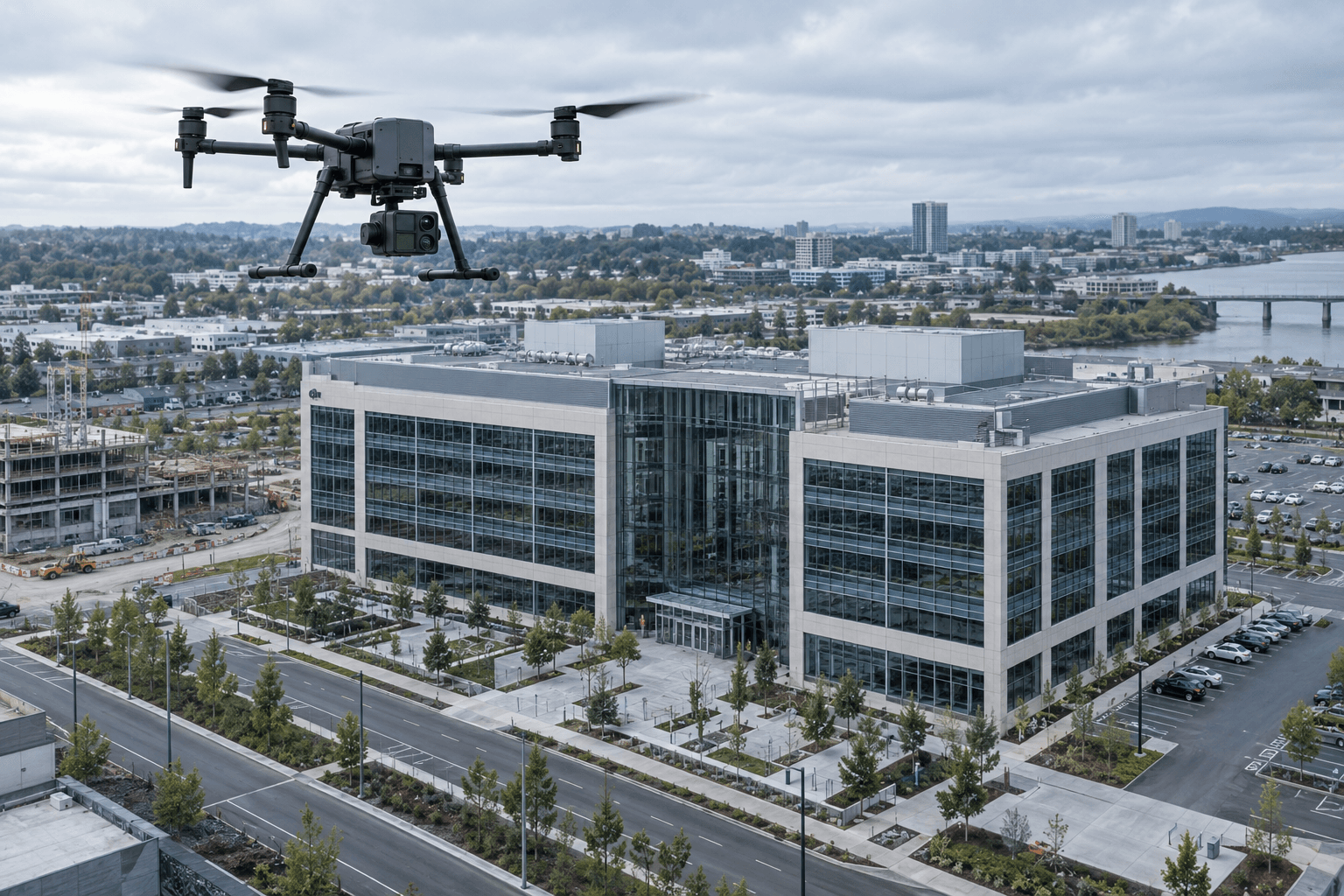
Drone Survey
Aerial data capture that provides clear site context for mapping, planning, inspection, and project coordination.
Survey-led consultancy that connects physical conditions with dependable building and geospatial information.
Consultancy Capabilities
Aerial data capture that provides clear site context for mapping, planning, inspection, and project coordination.
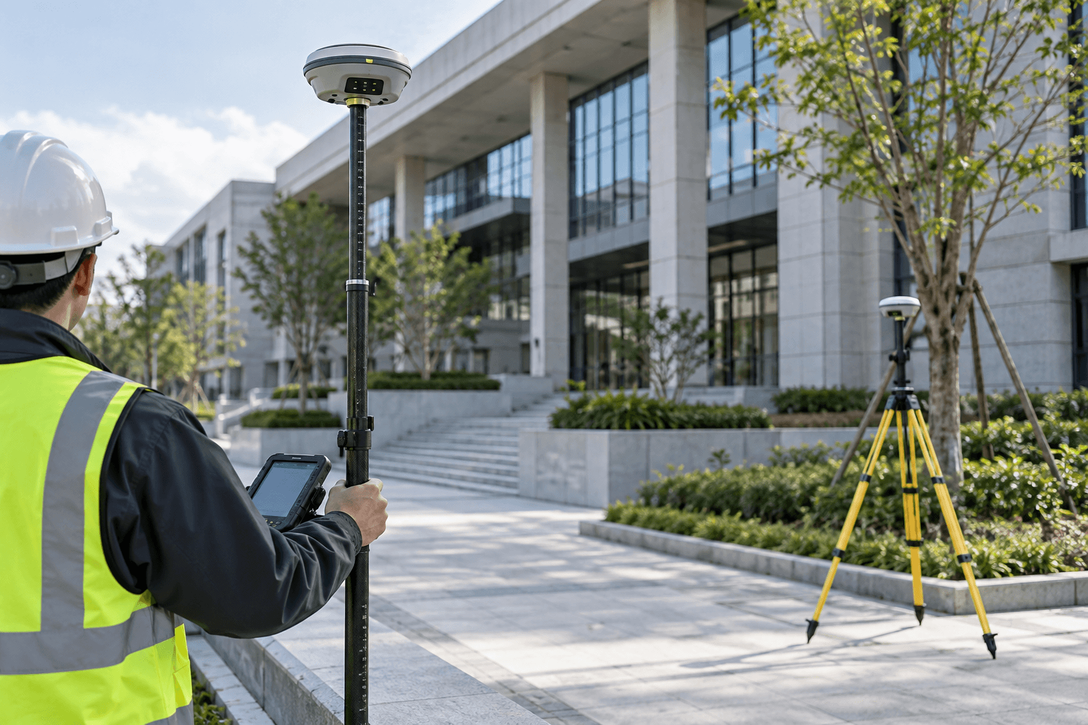
High-accuracy geospatial positioning and control information for dependable site documentation and spatial coordination.
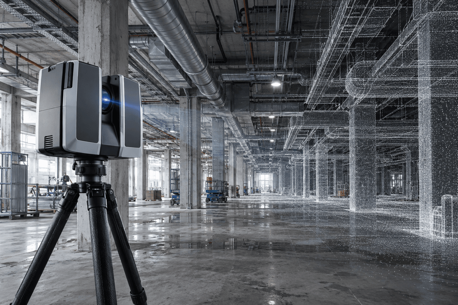
Precise three-dimensional capture of existing conditions for registered point clouds, BIM development, and technical documentation.